
Filter Results:
Category: Roads & Maps
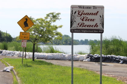
Sign noting the Grand View Beach Neighborhood, located along Lake Ontario on Edgemere Drive. Sandbags used to prevent historic flooding that occurred in 2017.
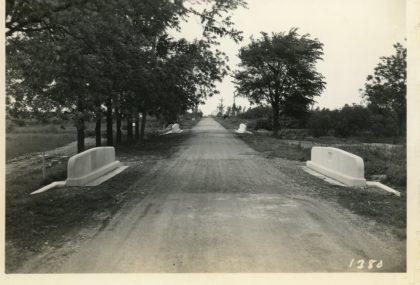
Completed bridge on Kirk Road. Works Progress Administration project.
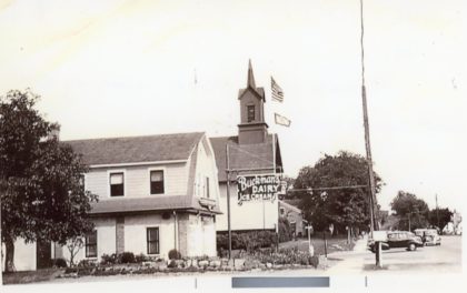
Ridge Road looking east. The Buckman's Dairy sign is adjacent to the Ridge Road Fire Department. 1940's.
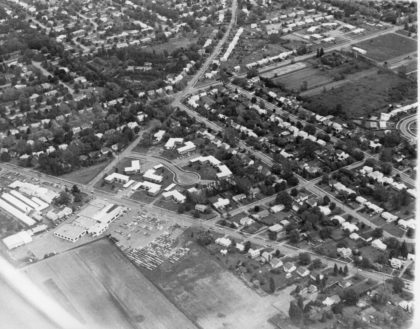
Aerial view of Bonesteel, McCall and Stone Roads looking SE, 1960's.
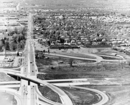
An aerial view of the Route 47, prior to becoming 390 North, under construction in 1968. The portion of 390 North from Route 104 to the Lake Ontario State Parkway was designated "Assemblyman Roger J. Robach Memorial Lakeway" in 1992.