
Filter Results:
Category: Roads & Maps
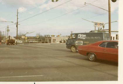
Long Pond and Ridge Roads, looking north up Long Pond, 1970's
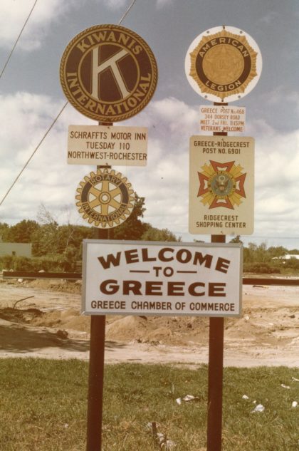
"Welcome to Greece" Sign on Ridge Road, date unknown.
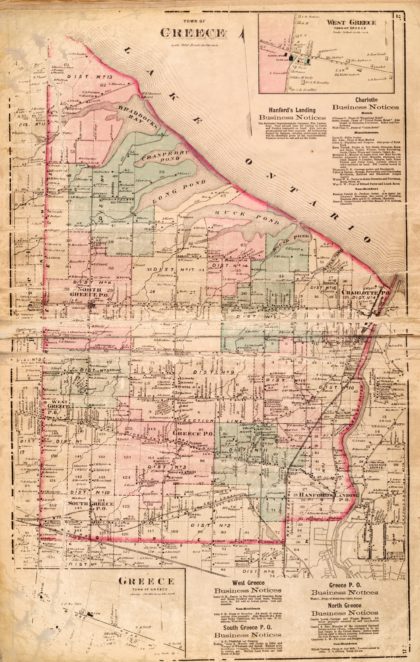
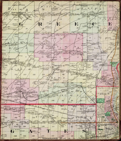
1872 map of the Town of Greece.
1924 map of the Northgate area of Greece.
North Greece map, 1887.
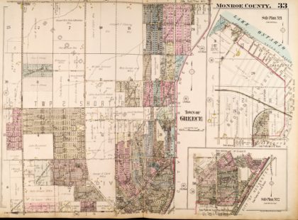
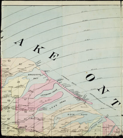
1887 map of southern Greece.
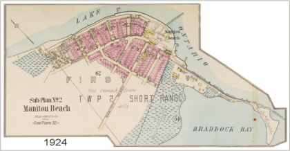
1924 Manitou Beach map.
Dewey Avenue at the corner of Ridge Road, looking north up Dewey Avenue, 1930's.
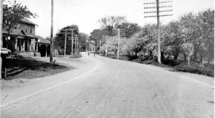
The Pine Tree Inn (on the left) on Ridge Road looking west from the corner of Eddy Road (now Mt. Read Blvd), 1920's.
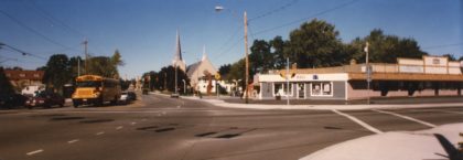
Corner of Dewey Avenue and Stone Road, 1996. Bethany Church in the background.
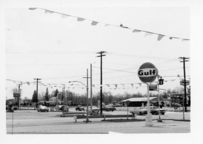
Gulf Gas Station on the corner of Maiden Lane and Mt. Read Blvd looking southwest, 1965.
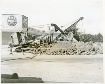
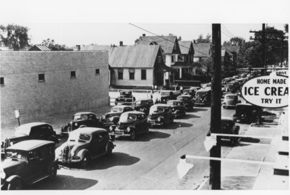
Construction in the parking lot of Red and White Food Stores Plaza on Ridge Road and Long Pond, 1950's. Red & White Food Stores was a national chain that started in the 1920's and by the 1950's, had over one thousand stores in Pennsylvania, New York and Ohio. The Ridge and Long Pond Road store building is now Heritage Jewelers.
Dewey Avenue and English Road near the entrance of Northgate Plaza looking south
The corner of Dewey Avenue and Stone Road. Bethany Presbyterian Church in the distance, 2017.
Corner of Dewey Avenue and Ridge Road, looking west.