
Filter Results:
Category: Roads & Maps
A view of Grange Hall on Ridge Road. The old Greece Town Hall can be seen to the far left. This Grange Hall was built in 1905 and torn down in the early 1960's and a new hall was built at 1301 Long Pond Road.
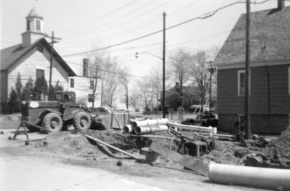
Road construction near Grange Hall, 1961. Greece Baptist Church is visible across Ridge Road. Grange Hall housed The National Grange of the Order of Patrons of Husbandry organization, which promoted community and agriculture in the area. This Grange Hall was built in 1905 and torn down in the early 1960's and a new hall was built at 1301 Long Pond Road.
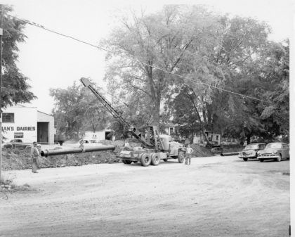
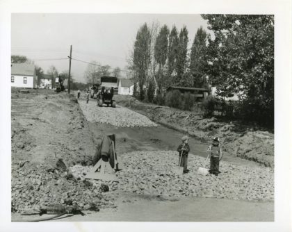
Drainage pipe installation along Long Pond Road, 1940's. Buckman's Dairies can be seen in the background.
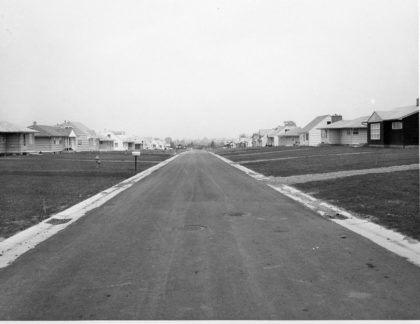
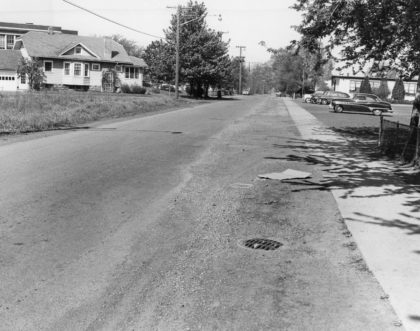
View of Woodcroft Drive, 1955. Woodcroft Drive is located east of Dewey Avenue and connects Rumson and Lawson Roads. Woodcroft Drive was part of a "building boom" that occurred in Greece during the 1950's. Between 1950 and 1955, the population went from 25,500 to 37,000. At that time, it was predicted to reach 90,000 by the mid 1970's.
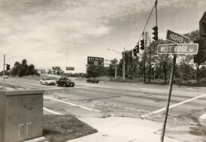
The corner of West Ridge Road and Hoover Drive looking south, 1980's. The Olive Garden Restaurant is now located on the right corner and a Holiday Inn Express is currently on the left corner.
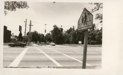
The corner of West Ridge Road and Hoover Drive looking north, 1980's. There is now a foot bridge over this intersection allowing for access to the Route 390 trail.
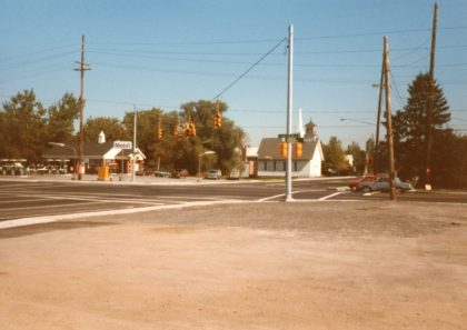
The corner of Long Pond Road and Maiden Lane looking north east. The old Greece Methodist Church can be seen in the center, 1984.
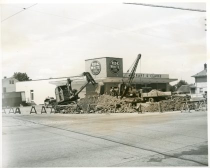
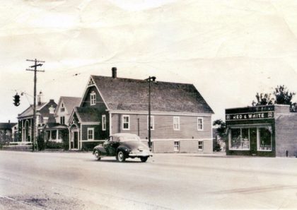
Construction in the Red & White Food Stores Plaza at the corner of Ridge & Long Pond Roads, 1950's. Red & White Food Stores was a national chain that started in the 1920's and by the 1950's, had over one thousand stores in Pennsylvania, New York and Ohio. The Ridge and Long Pond Road store building is now Heritage Jewelers.
Maiden Lane looking west. St. Charles is on the right and the Barnard School can be seen beyond the house on the left. 1940's.
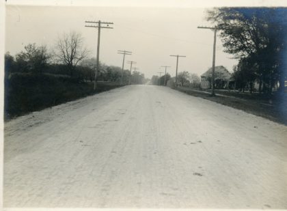
New road paving on Ridge Road using cement cubes, 1909. The cubes were manufactured at the Rochester Sewer Pipe Company and delivered by horse and buggy.
Road paving on Ridge Road using cement cubes, 1909. The cubes were manufactured at the Rochester Sewer Pipe Company and delivered by horse and buggy.
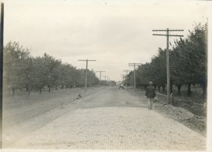
Road construction on Alpine Road, east of Hampton Blvd and South of Latta Road, 1950's. Alpine Road was part of a "building boom" that occurred in Greece during the 1950's. Between 1950 and 1955, the population went from 25,500 to 37,000. At that time, it was predicted to reach 90,000 by the mid 1970's.
Latta Road east of Mt Read Blvd looking west. Spire of Mother of Sorrows visible in the distance, 1940's. Latta Road is named after the Latta family, Samuel, brother George and sister Agnes, whose parents settled in the area in the late 1700's. Latta road was the first roads laid out west from the Genesee River.
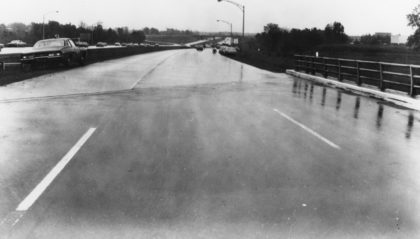
A view of NY Route 47 looking north, just south of Ridge Road, 1960's. This stretch of expressway would eventually become designated Route 390.
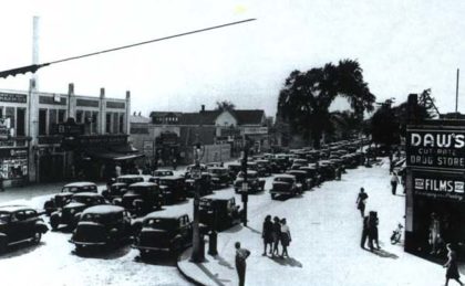
Corner of Ridge Road and Dewey Avenue looking west down Ridge, 1940's.