
Filter Results:
Category: Aerial
Aerial view of Long Pond and Mitchell Roads looking north, 1970's. The mall is on the right.
Aerial view of Manitou Beach. The Manitou Beach Hotel - Elmheart Hotel and Dance Hall are seen at the far left, 1950's.
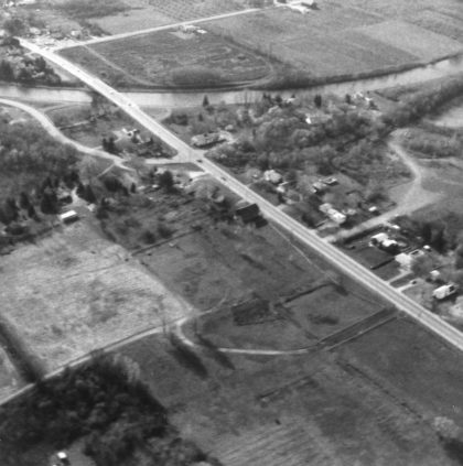
An aerial view of Elmgrove Road and the Erie Canal looking south, 1970's.

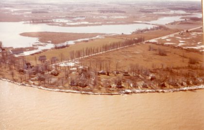
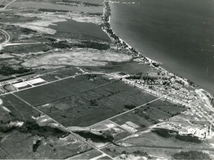
Aerial view of Braddock Bay, 1970's.
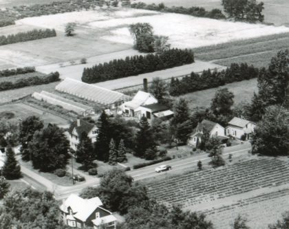
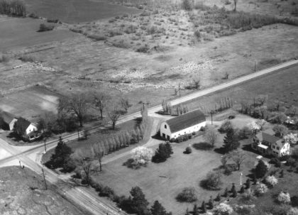
Aerial view of the Thomas Farm on the west side of Stone Road, 1950's.
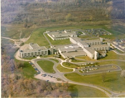
Aerial view of Park Ridge Hospital on Long Pond Road, 1970's.
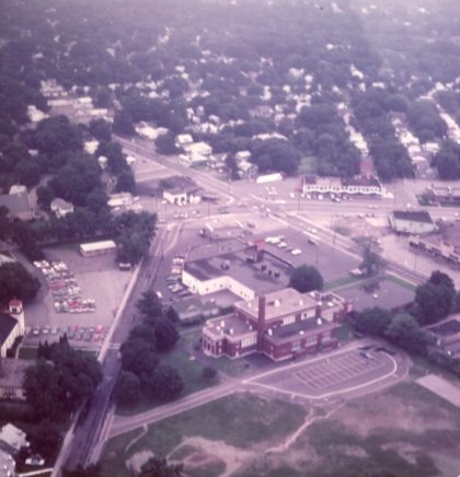
Aerial view of Dewey - Stone area, looking east, 1970's.
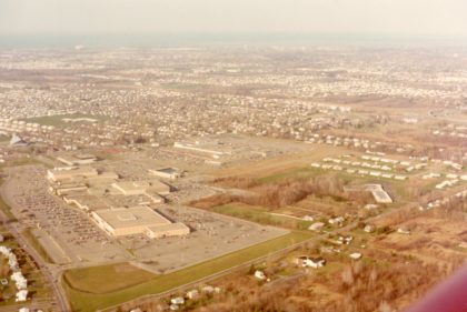
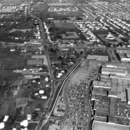
Aerial view of Ridge Road looking northeast, including Long Ridge and Greece Town Malls, 1974.
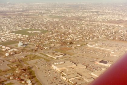
Aerial view of Ridge Road looking northeast. Long Ridge and Greece Town Malls visible, 1974.
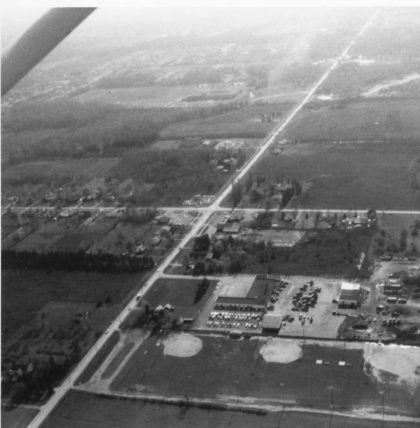
Aerial View of Latta and Long Pond Roads looking south. Town of Greece Department of Public Works visible, 1950's.
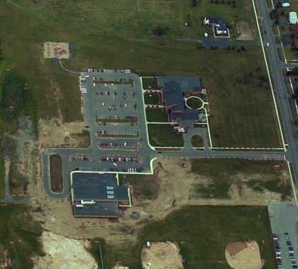
The Greece Town Hall Campus. Long Pond Road to the right, 2001.
West view of Lake Ontario State Parkway construction with Edgemere Drive along the lake and Russel Station in the lower right corner.
The "Larkin-Beattie-Howe" house on southwest corner of Latta and Long Pond Roads, 1940's.
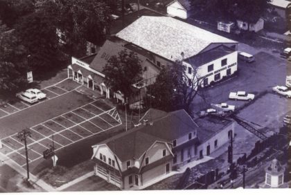
Aerial view of Ridge Road looking northwest. Ridge Fire Department in the foreground, Buckman's store and Buckman's Bonnybrook Dairy pictured. Early 1950's.
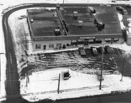
Aerial view of the new Midas Muffler and Buckman's Laundry Center shortly after opening, in 1971. Located on Ridge Road and Long Pond.