
Filter Results:
Category: Aerial
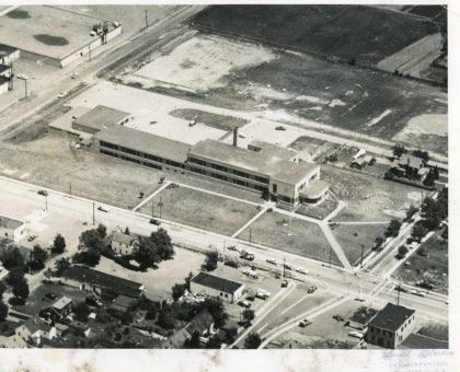
Aerial view of the Britton Road School looking north-east, 1950's. Britton Road School was located at Britton Road and Dewey Avenue and opened in 1950. The school closed in 1981. This is the current location of Dairy Queen and the Big Lots Plaza (2019).
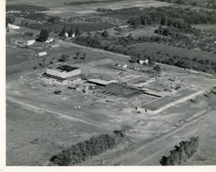
Construction of Greece Olympia located on Maiden Lane, 1950's. Construction was completed in 1959.

Craig Hill School located on Craig Hill Drive, 1950's.
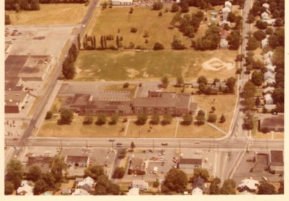
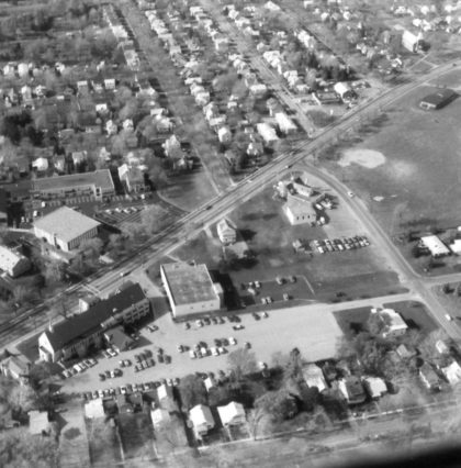
Aerial view of Britton Road School looking east, 1977. Britton Road School was located at Britton Road and Dewey Avenue and opened in 1950. The school closed in 1981. This is the currently location of Dairy Queen and the Big Lots Plaza (2019). Northgate Plaza is partly visible on the left.
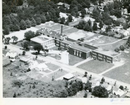
Aerial view of Hoover Drive School, 1940's.
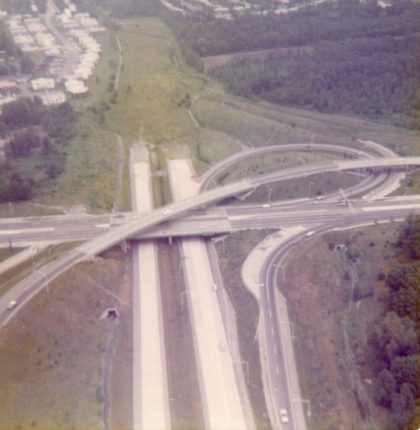
An aerial view of the Route 47, prior to becoming 390 North, under construction in 1968. The portion of 390 North from Route 104 to the Lake Ontario State Parkway was designated "Assemblyman Roger J. Robach Memorial Lakeway" in 1992.
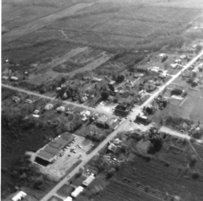
Aerial view of Latta and North Greece Roads looking south, 1970's.
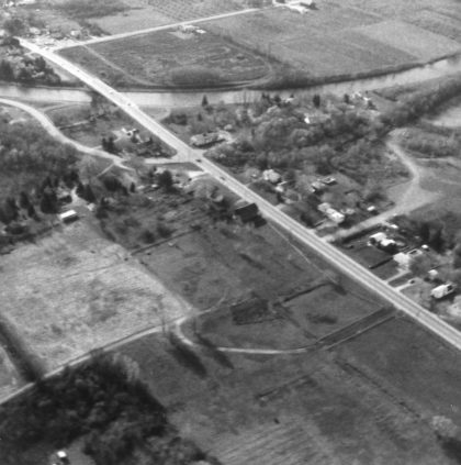
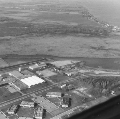
Aerial view of the Erie Canal and Elmgrove Road looking south, 1970's.
Aerial view of North Gate Plaza looking west, 1970's. Britton Road School can be seen to the left of the plaza.
Aerial view of Dewey Avenue and Clark Park, 1970's.
Aerial view of Dewey and Latta Roads looking northwest, 1970's.
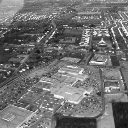
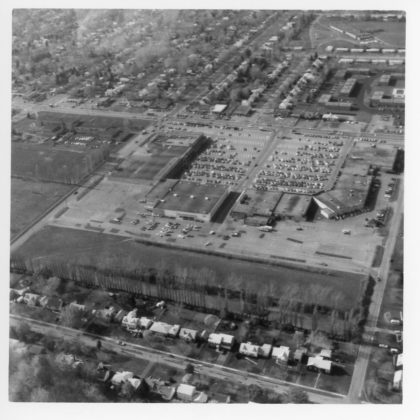
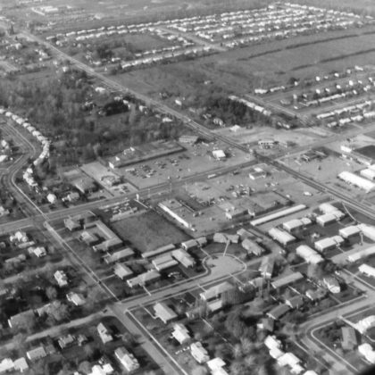
Aerial view of Long Ridge Mall looking north, 1970's.
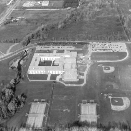
An aerial view of Greece Athena High School in the 1970's looking north. Located at 800 Long Pond Road. The site was chosen in 1961 and the school opened in 1969. Don Haefele was the first principal.
Aerial view of the Monroe County Water Authority on Dewey Avenue, 1970's.
Aerial view of North Greece and Mill Roads, looking northeast, 1978.