
Filter Results:
Category: Aerial
Aerial view of the Dewey Avenue and Stone Road intersection looking north. The distinct curved face of the Dutch Mill restaurant is visible on the west side of Dewey Avenue. 1946
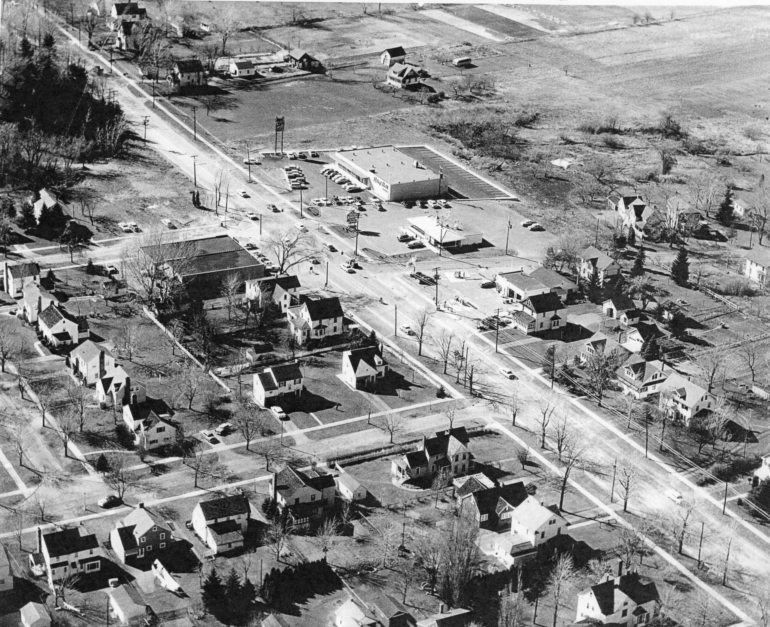
Aerial view of Ridge Road at Corona Road and Ayers Street looking northwest, 1955. Stone Road is running between Howard Johnson's and Kearhart Garage.
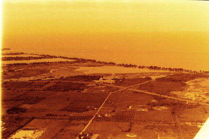
Aerial view of Ridgeway Avenue and Long Pond Road looking northeast, toward the Erie Canal, 1977.
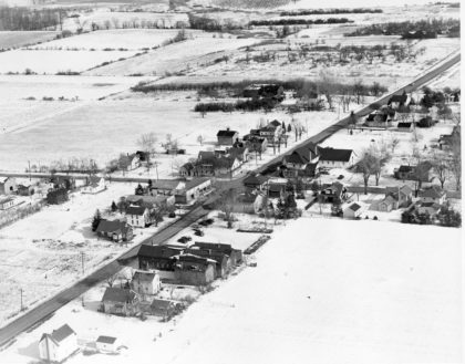
Latta Road at North Greece Road looking east, 1950.
Aerial view of Island Cottage and Flynn Roads, looking north. 1970's

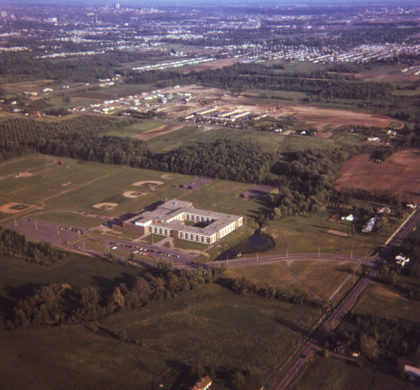
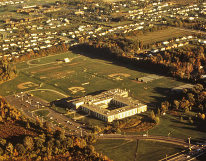
Aerial view of the Greece Olympia High School campus located on Maiden Lane. Looking south, Route 47 can be seen in the distance, prior to its construction and being renamed I-390, late 1960's
An aerial view of Greece Athena High School in the 1972s looking southeast. Located at 800 Long Pond Road. The site was chosen in 1961 and the school opened in 1969. Don Haefele was the first principal.
An aerial view of Greece Athena High School in the 1980's looking southeast. Located at 800 Long Pond Road. The site was chosen in 1961 and the school opened in 1969. Don Haefele was the first principal.
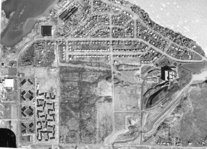
Aerial View of Lake Ontario at Edgemere Drive and Beach Avenue, 1970's. The Cedar Commons complex is visible at the lower left. Round Pond is visible in the upper right of the photo.

Aerial view of flooding along the shores of Lake Ontario. Pictured here is Edgemere Drive and Beach Avenue, separated by Little Pond in the center of the picture, 1970's.
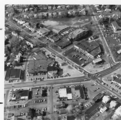
Aerial view of Dewey Avenue and Stone Road, 1970's. The Barnard School is visible in the upper middle of the photograph. The Dutch Mill Restaurant can be seen left of center.
Aerial view of the Town of Greece Town Hall Campus looking south-west, 2000's. This is prior to the construction of the Greece Community and Senior Center (2006) and the Greece Police Department Headquarters (2016).
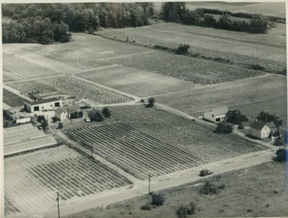
An aerial view of a farm located at 1580 Maiden Lane. The road leading to the farm building is now Stoney Path Lane and the road running north along the farm house is Woodstone Lane.
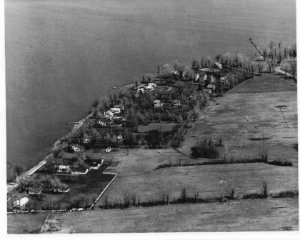
Aerial view of Manitou Beach, 1959.
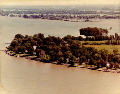
Aerial view of Manitou Beach, 1977.