
Filter Results:
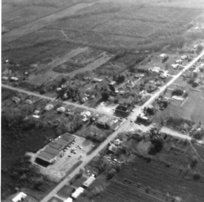
Aerial view of Latta and North Greece Roads looking south, 1970's.
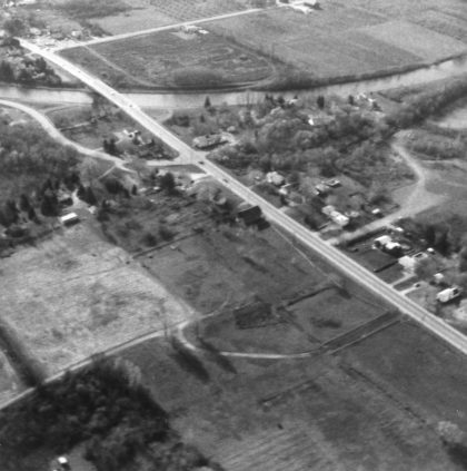
Aerial view of the Erie Canal and Elmgrove Road looking south, 1970's.
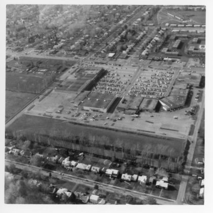
Aerial view of North Gate Plaza looking west, 1970's. Britton Road School can be seen to the left of the plaza.
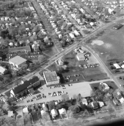
Aerial view of Dewey Avenue and Clark Park, 1970's.
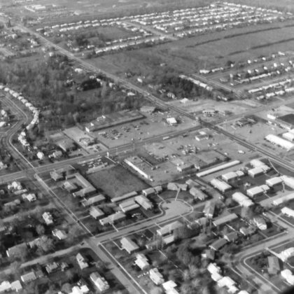
Aerial view of Dewey and Latta Roads looking northwest, 1970's.
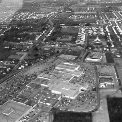
Aerial view of Long Ridge Mall looking north, 1970's.
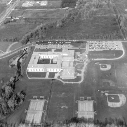
An aerial view of Greece Athena High School in the 1970's looking north. Located at 800 Long Pond Road. The site was chosen in 1961 and the school opened in 1969. Don Haefele was the first principal.
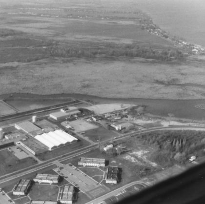
Aerial view of the Monroe County Water Authority on Dewey Avenue, 1970's.
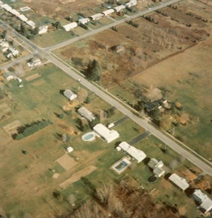
Aerial view of North Greece and Mill Roads, looking northeast, 1978.
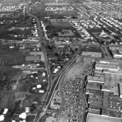
Aerial view of Long Pond and Mitchell Roads looking north, 1970's. The mall is on the right.
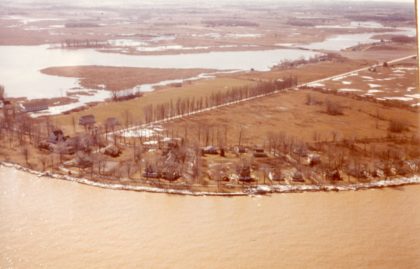
Aerial view of Manitou Beach. The Manitou Beach Hotel - Elmheart Hotel and Dance Hall are seen at the far left, 1950's.
An aerial view of Elmgrove Road and the Erie Canal looking south, 1970's.

Aerial view of Braddock Bay, 1970's.
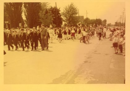
Cub Scouts and a marching band in the 1954 Memorial Day Parade.
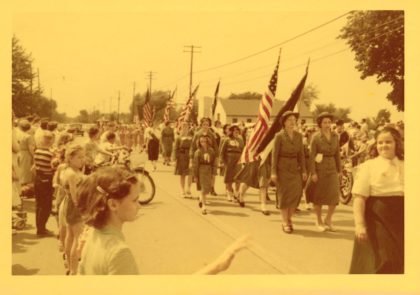
The 1954 Memorial Day Parade marching down Ridge Road, 1954.