
Image ID:2417
Description:
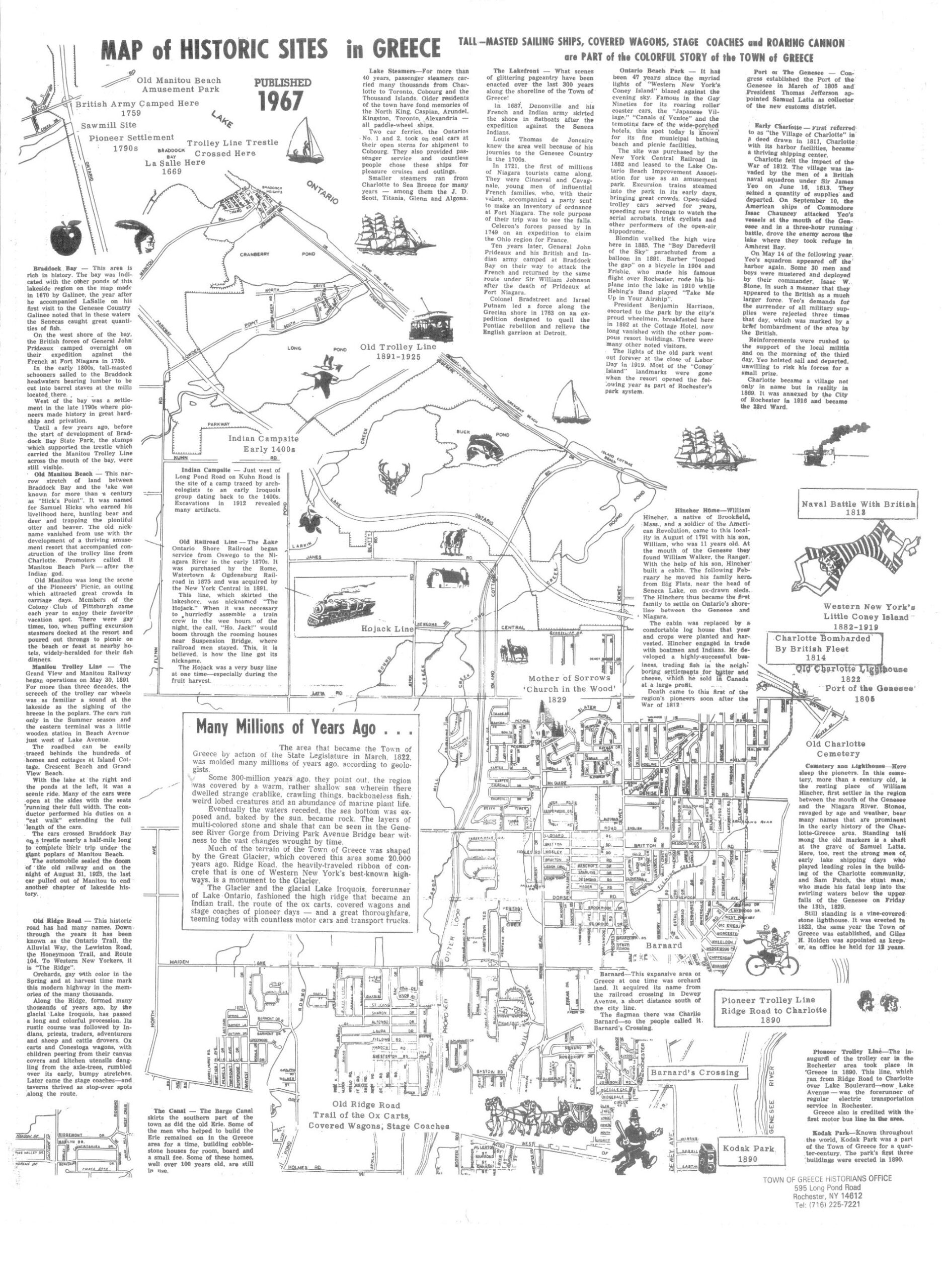
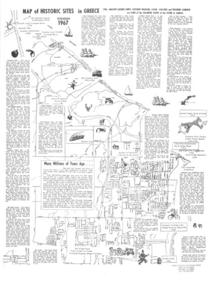
1967 illustrated map titled "Map of Historic Sites in Greece" with historical overview of the history of the Town of Greece. Also features notable landmarks and events spanning centuries, beginning with early Native American campsites from the 1600s and British military activity in 1789, followed by pioneer settlements in the 1790s. The map highlights transportation milestones such as the Old Ridge Road—once traveled by ox carts, stagecoaches, and covered wagons—and the Old Trolley Line, which operated from 1891 to 1925. Recreational and cultural sites like the Old Manitou Beach Amusement Park and Little Coney Island in nearby Webster (1880–1919) are also depicted, alongside significant community institutions such as the Mother of Sorrows Church, established in 1839, and Kodak Park, founded in 1890. Includes geographical information, as well.
1967 illustrated map titled "Map of Historic Sites in Greece" with historical overview of the history of the Town of Greece. Also features notable landmarks and events spanning centuries, beginning with early Native American campsites from the 1600s and British military activity in 1789, followed by pioneer settlements in the 1790s. The map highlights transportation milestones such as the Old Ridge Road—once traveled by ox carts, stagecoaches, and covered wagons—and the Old Trolley Line, which operated from 1891 to 1925. Recreational and cultural sites like the Old Manitou Beach Amusement Park and Little Coney Island in nearby Webster (1880–1919) are also depicted, alongside significant community institutions such as the Mother of Sorrows Church, established in 1839, and Kodak Park, founded in 1890. Includes geographical information, as well.
Location:Greece, New York
Date:1967
Source:Office of the Town Historian
Categories:
Roads & Maps
Views:436 Views
Date Added:January 16, 2026
Full Image: 1872 x 2560px
Large Image: 749 x 1024px
Medium Image: 420 x 574px

